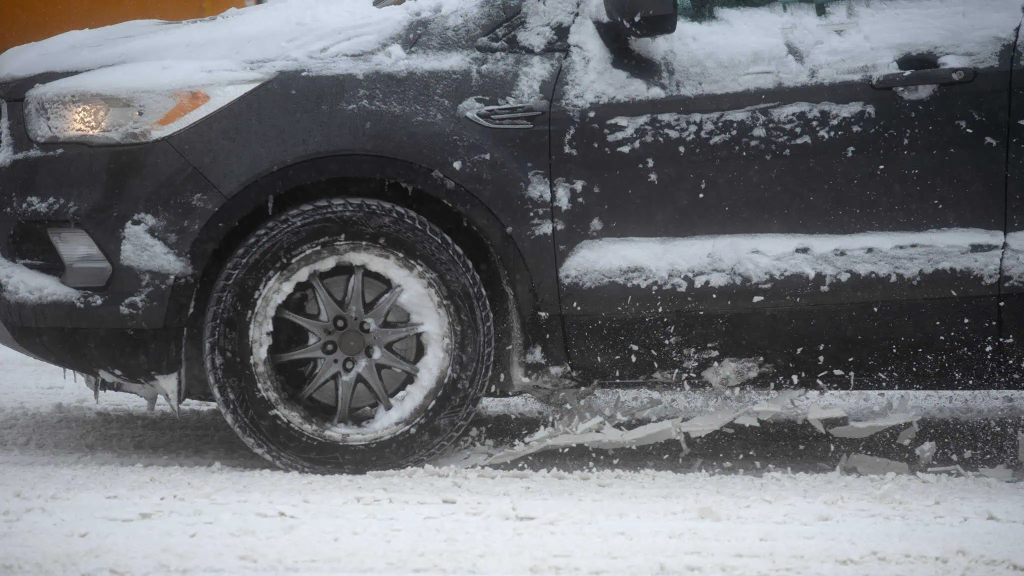
Heavy snow and powerful winds are set to hit parts of Ontario on Friday, with up to 30 centimetres of accumulation and gusts reaching 60 km/h expected in some regions, according to Environment and Climate Change Canada.
Weather warnings have been issued for the Orillia and Barrie areas, where intense snow squalls combined with strong winds are expected to sharply reduce visibility and create hazardous travel conditions. Smaller but still significant snowfall totals of five to 20 centimetres are forecast for Stratford, the Bruce Peninsula, Sauble Beach, Tobermory, northern Wellington and Huron counties, Wingham, and the Parry Sound area.
Forecasters warn that blowing snow will be particularly severe in open and exposed areas, with visibility at times dropping to near zero and possible road closures. Snow squalls are expected to ease late Friday evening or overnight.
Parts of the Greater Toronto Area, including Halton and Caledon, along with Guelph, Kitchener and Waterloo, are under a special weather statement calling for up to five centimetres of snow and areas of blowing snow. Colder air will follow over the weekend, with wind chills dipping to –28 C in the GTA and the potential for more heavy snow on Sunday.