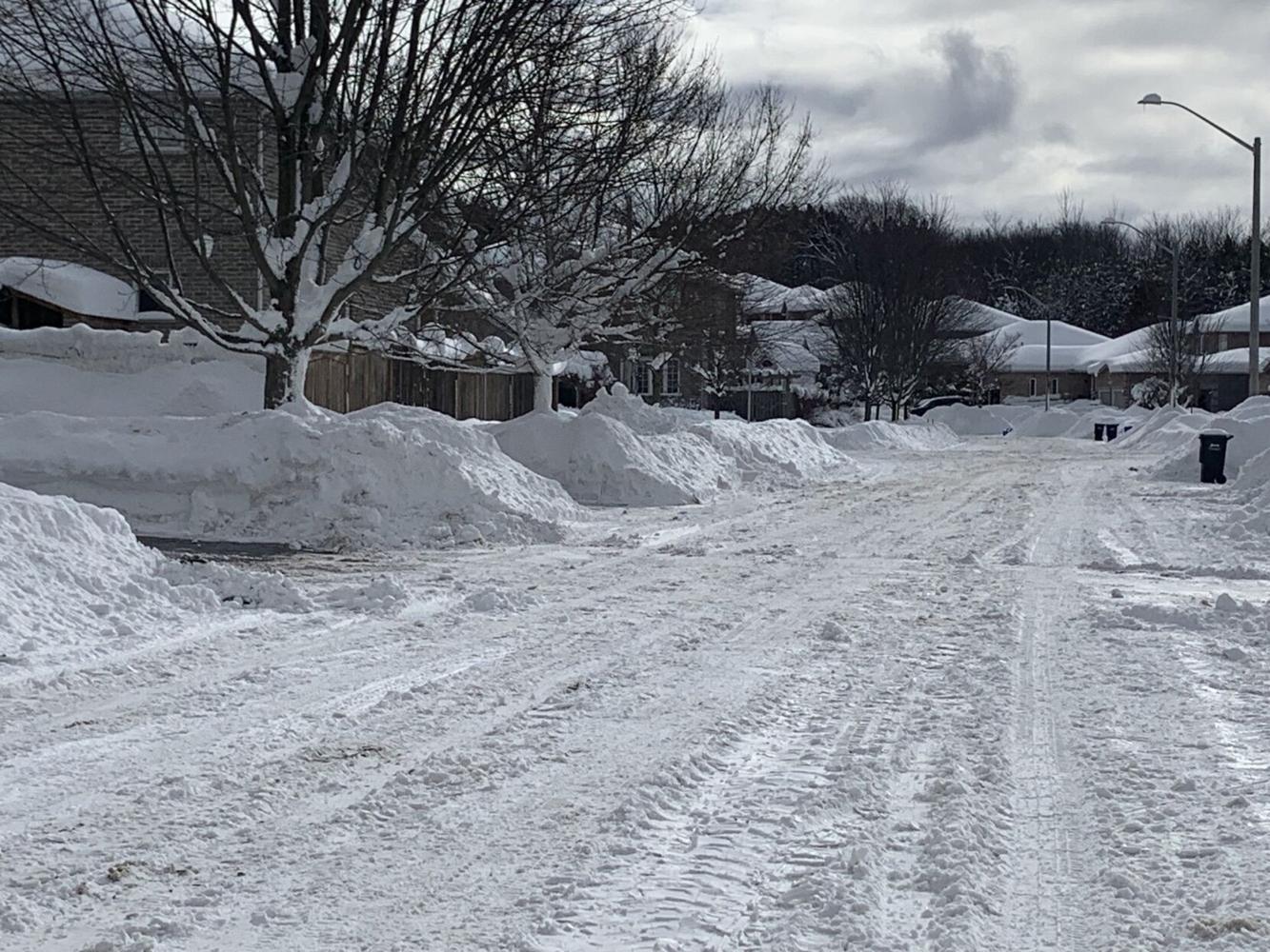
A pair of Alberta clipper systems swept across southern Ontario this week, dumping widespread snow and creating impressive snowbanks in parts of the province, but the storms did not officially break any major snowfall records.
As snow moved in on Wednesday, December 10, Toronto Pearson International Airport recorded about seven centimetres by midday, eventually reaching roughly 10 centimetres by the end of the day. According to Environment and Climate Change Canada meteorologist Gerald Cheng, that total falls short of the snowiest December 10 on record, which occurred in 1994 when 13 centimetres blanketed the city. It also remains far below Toronto’s all-time December snowfall record of 86.6 centimetres, set in 1951.
Heavier snowfall was expected in Ontario’s snow belt regions near Georgian Bay and Lake Huron, where forecasts called for 30 to 50 centimetres on Thursday, December 11. However, whether any local records were broken remains unclear due to limited and inconsistent snowfall reporting in those areas.
Cheng explained that snowfall measurements in the snow belt rely heavily on volunteer observers, whose reports often fail to capture the highly localized nature of snow squalls. “Snow squalls are very localized, and the observations from these volunteer networks don’t necessarily reflect the greatest amount of snowfall,” he said. For example, volunteers recorded only about nine centimetres in parts of Simcoe County on December 11, a figure that likely understates what fell in certain pockets.
An unofficial Environment Canada weather summary suggests some communities experienced significant snowfall. Ingersoll appeared to be the hardest hit on December 11, recording 35 centimetres by 10 a.m., followed by Lucknow with 25 centimetres and Norwich with 22 centimetres.
The snowy pattern is not over yet. Forecasters say more snow is expected this weekend across the snow belt and other parts of Ontario as another cold front moves through, bringing below-normal temperatures, gusty winds and brisk wind chills.
Residents are encouraged to monitor the latest forecasts and weather warnings by visiting weather.gc.ca or using the WeatherCAN app.