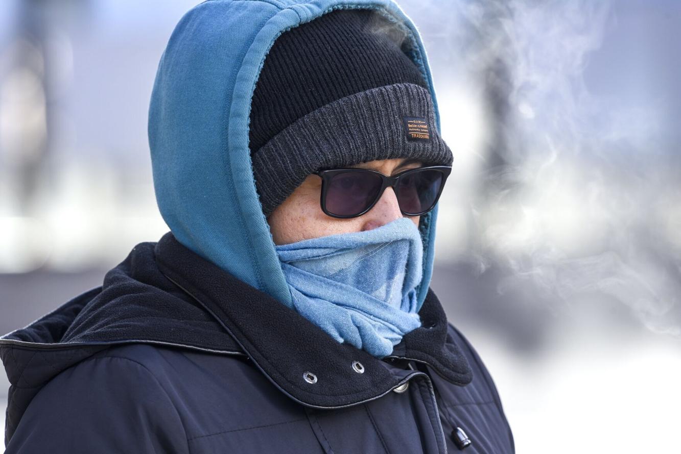
Ontario could be in for a cold and snowy holiday season this year, according to early weather models that point to the influence of both a polar vortex and a weak La Niña pattern—two systems known for driving winter chill across Canada.
Some meteorologists are already using words like “frigid,” “snowy periods,” and “Arctic air” when discussing December conditions in Ontario. While it’s still too early for a definitive Christmas forecast, several indicators suggest a wintry stretch leading up to the holidays.
Early Models Point Toward a Cold December
A recent report shared by the National Post suggests atmospheric temperatures will warm in late November—setting the stage for cold Arctic air to spill south into Ontario by mid-December. If that pattern holds, the frigid conditions could last several weeks.
The Old Farmer’s Almanac also predicted a mild overall winter for southern Ontario but highlighted the likelihood of several “frigid snowy periods” around the Christmas season.
Weak La Niña May Shape Winter Weather
The Weather Network’s early winter outlook indicates that a weak La Niña is expected this winter—similar to last year’s pattern, which brought heavy snow to parts of the province and included a late-season ice storm that left thousands without power on March 28.
Warmer-than-usual temperatures in the North Pacific are creating a blocking jet stream, a setup that typically drives Arctic air across much of Canada, especially from the Prairies to Quebec.
However, meteorologists have not yet confirmed how strongly La Niña will influence Canada’s winter—or which provinces will feel its effects most.
According to a Nov. 13 release, “Water temperatures in the eastern Pacific remain colder than normal… Forecasters with the U.S. Climate Prediction Center see favourable odds that La Niña conditions will persist into the heart of winter before moderating.”
Polar Vortex: Wild Card for Ontario’s Winter
Adding to the uncertainty is the behaviour of the polar vortex, a large mass of low-pressure, freezing air locked over the North Pole. When strong, it keeps cold air contained. When weak, it allows frigid air to plunge southward, sometimes triggering dramatic cold snaps in Ontario.
The Weather Network says it is monitoring several variables that will determine how the polar vortex behaves, noting:
“Disruptions to the polar vortex can send bitterly cold air plunging toward southern latitudes, sometimes resulting in memorable cold snaps.”
A weakened vortex can also bring heavy snowfall, good news for winter sports enthusiasts hoping for fresh powder.
Despite the early signs, forecasters caution that it is still too soon to say whether Ontario will officially have a white Christmas. Many atmospheric patterns won’t lock in until early December.
The Weather Network will release its official winter forecast on Nov. 26, which should offer clearer guidance on what residents can expect for Christmas, Hanukkah, and the colder months ahead.