A significant winter storm is set to hit Southern Ontario on Wednesday, February 12, bringing heavy snowfall, ice pellets, and freezing rain across the region. Environment Canada has issued snowfall warnings and weather advisories for most of the province as the storm moves in, expected to last until Thursday evening.
Residents in Mississauga, Brampton, Toronto, and the GTA should prepare for 10 to 15 cm of snow, while areas further north, including Barrie, Muskoka, and the Peterborough region, could see up to 40 cm of snowfall. Caledon is forecasted to receive up to 25 cm.
Flurries are expected to begin early Wednesday morning, with a 60% chance of snow throughout the afternoon. Temperatures will drop to -11°C in the afternoon, with wind chills making it feel as cold as -18°C. However, the heaviest snowfall will arrive in the evening, with snow accumulation rates of 2 to 4 cm per hour in the GTA.
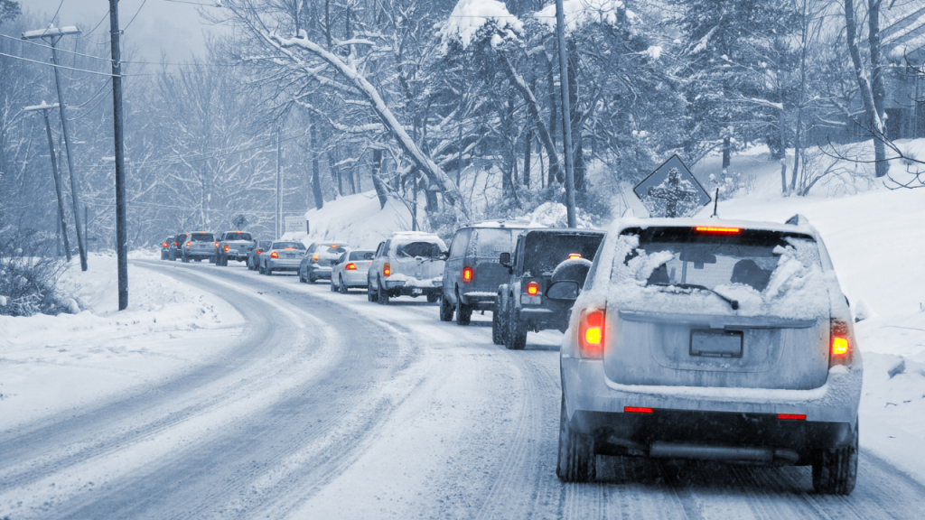
Environment Canada warns that the storm could also bring ice pellets and freezing rain late Wednesday night or early Thursday morning, increasing the risk of dangerous road conditions and poor visibility. Areas near Lake Ontario may also experience rain and ice pellets in addition to the snowfall.
Travel is strongly discouraged between Tuesday night and Friday, with authorities urging residents to avoid non-essential travel. Those who must be on the road are advised to inform others of their travel plans, carry an emergency kit, and have a mobile phone on hand.
The low-pressure system is expected to move out of the region by Thursday evening, but residual snowfall and icy conditions may persist into Friday morning.
Residents are encouraged to monitor local weather updates and prepare for hazardous winter conditions in the coming days.