Ontario is bracing for another significant storm this Sunday, bringing a mix of rain, snow and freezing rain across much of the province, according to Environment Canada.
The incoming system is expected to follow a similar path to the storm that moved through on Friday, but with heavier precipitation, raising concerns for travel and local disruptions. Meteorologists say the system will begin overnight Saturday and intensify into Sunday morning.
Southern Ontario — including areas below the Barrie-to-Cobourg line — will mainly see rain with temperatures in the single digits. Meanwhile, regions north of that line are expected to receive significant snowfall, with temperatures hovering just below freezing.
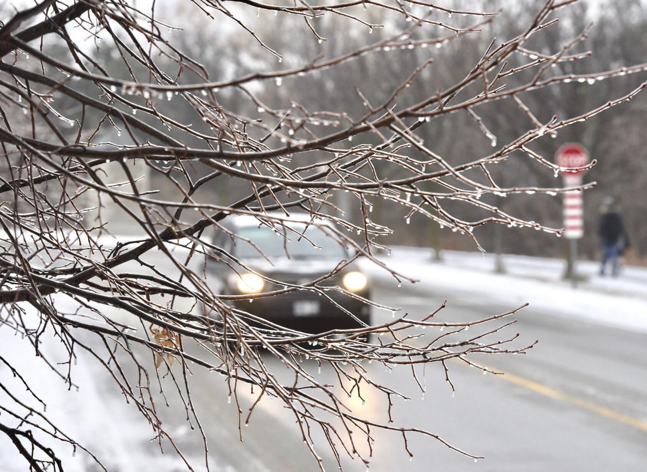
Communities along this dividing line could experience mixed precipitation, including freezing rain, creating potentially slippery and hazardous conditions for both drivers and pedestrians.
The storm is forecast to begin in eastern regions such as Algonquin Park and the Ottawa Valley around midnight before spreading across the province. As the system gathers moisture, it is expected to produce higher accumulations of rain and snow than the previous storm, though exact totals are still uncertain.
While forecasters are not currently expecting major ice buildup, localized freezing rain remains possible. Residents are advised to monitor updates and prepare for rapidly changing weather conditions.
Environment Canada also continues to use its colour-coded alert system to warn the public, with advisories ranging from general weather statements to warnings of potentially dangerous or life-threatening conditions.
With spring officially underway but winter conditions lingering, Ontarians are being reminded that seasonal transitions can still bring volatile weather, and caution is advised throughout the weekend.