A powerful winter storm is sweeping across Toronto and much of southern Ontario, with snowfall totals of up to 30 centimetres expected and travel conditions deteriorating rapidly across the region.
Just before 8 a.m., Environment Canada upgraded its winter storm warning to an orange-level alert, citing high-impact conditions as significant snowfall continued across the Greater Toronto Area and surrounding communities. Orange-level warnings are uncommon and indicate that severe weather is likely to cause major disruption, damage, or health risks. The agency’s warning system includes three levels: yellow, orange, and red, with red alerts being rare.
Heavy snowfall across southern Ontario
The storm is affecting Toronto, Mississauga, Brampton, the Golden Horseshoe, and much of southern Ontario. Environment Canada forecasts snowfall amounts of 20 to 30 centimetres in many areas, with snow continuing through the morning and easing later this afternoon.
The system is being driven by a strong low-pressure system moving east through southern Ontario and into Quebec, spreading widespread snowfall from the Chatham area in southwestern Ontario to Montreal. In several communities, total accumulations of 10 to 25 centimetres are expected.
Conditions may be more severe in areas impacted by lake-effect snow. Snow squalls off Lake Huron could bring an additional 20 centimetres to parts of the Sarnia–Strathroy corridor.
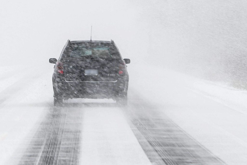
Blowing snow and near-whiteout conditions
In addition to heavy snowfall, Environment Canada is warning of strong winds leading to blowing snow and near-whiteout conditions, particularly in open areas and along major highways. Very cold wind chills are also expected this morning, increasing the risk for commuters and anyone spending time outdoors.
Major impact expected on travel
Road conditions are expected to worsen quickly, with significant impacts anticipated during the morning commute. Drivers should be prepared for delays, collisions, and potential road closures across southern Ontario.
Motorists are urged to allow extra travel time, drive with caution, and avoid unnecessary travel where possible. Pedestrians are also advised to take care, as sidewalks and walkways may become slippery and difficult to navigate as snow continues to accumulate.
What residents should expect
- Snowfall totals of 20–30 centimetres in parts of southern Ontario
- Reduced visibility due to heavy and blowing snow
- Hazardous road conditions and the risk of whiteouts
- Very cold wind chills adding to dangerous conditions
Residents are encouraged to monitor weather updates and plan accordingly as severe winter conditions continue to affect the region throughout the day.