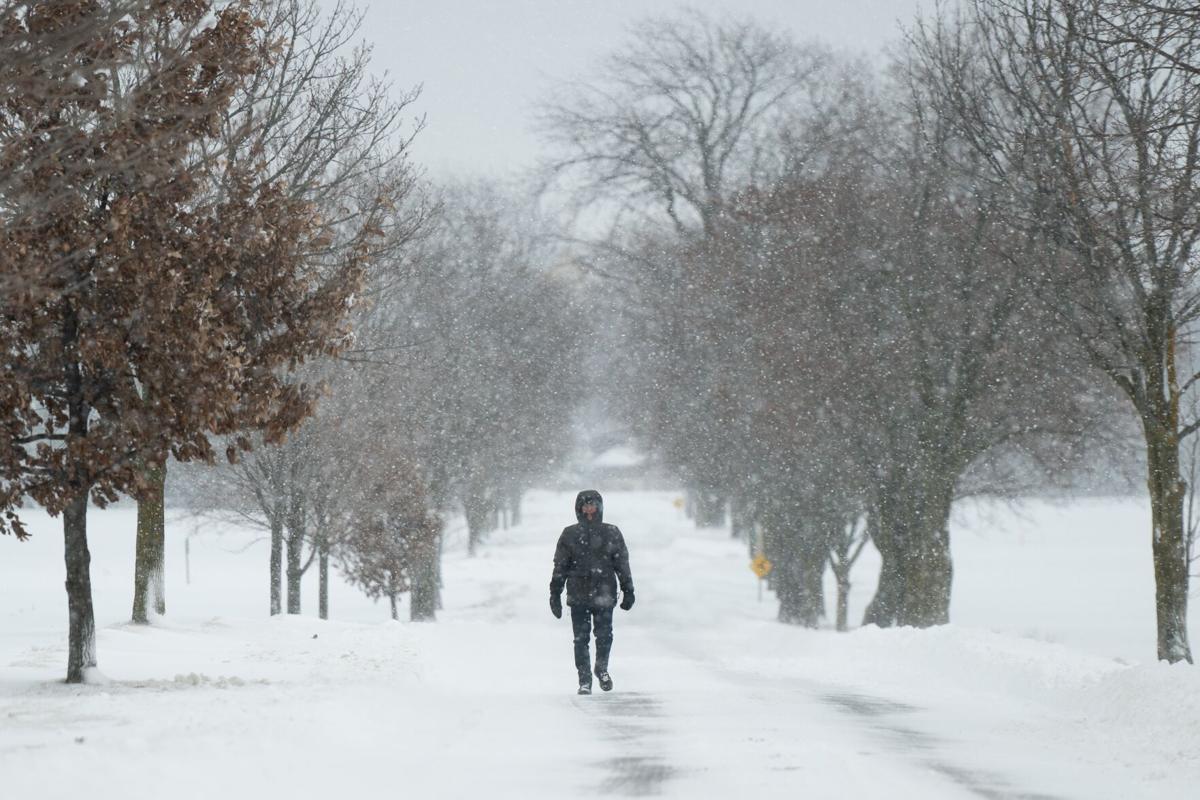
Toronto is under an extreme cold weather warning as temperatures are expected to plummet, with wind chill values making it feel like -35°C tonight. Environment Canada issued the alert Tuesday morning, warning that the arctic airmass gripping the region poses risks to everyone. Conditions are expected to ease slightly by Wednesday afternoon.
Daytime High: -11°C (coldest in three years)
- Wind Chill: Feels like -20°C during the day; -35°C overnight.
- Snowfall: 60% chance of flurries in Toronto, with significant accumulations of 20-60 cm expected in northern areas like Muskoka and Bracebridge.
The frigid temperatures are caused by a disrupted polar vortex that began affecting the region on Sunday. Today’s low of -15.8°C at Pearson International Airport is the coldest temperature recorded so far in 2025. Meteorologist Bill Coulter emphasized the severity, stating, “It’s bitterly cold out there. Dress appropriately and avoid prolonged exposure.”
Residents are advised to take extra precautions to protect themselves and their property:
- Dress in layers to prevent frostbite and hypothermia.
- Report broken water mains to 311 as freezing soil can cause pipes to crack.
- Warming centers are open across the city to provide relief for people experiencing homelessness. Locations can be found by contacting 311 or visiting city resources.
In Muskoka and Bracebridge, school bus cancellations have been announced due to snow squalls and heavy accumulations. Affected schools include:
- Bracebridge and Muskoka Lakes Secondary School
- Gravenhurst High School
- Muskoka Beechgrove Public School
- And others across the Trillium Lakelands District School Board’s Zone 1.